AI-powered geospatial analytics platform that transforms satellite data into actionable intelligence for governments, international organizations and other public entities to address environmental monitoring, natural disasters and resource management.
International Organization for Migration (IOM), United Nations Development Programme (UNDP), United Nations Industrial Development Organization (UNIDO)
Governments face increasing challenges in monitoring environmental change, illegal mining, and natural disasters, particularly as demand for critical minerals grows alongside rapid technological development. Illegal mining and environmental degradation remain difficult to address because many governments lack the monitoring tools and analytical capacity needed to detect and respond to these activities effectively. At the same time, climate change is increasing the frequency of extreme weather events and environmental risks, requiring governments to process large volumes of satellite and geospatial data to support timely decision-making in areas such as resource management, disaster preparedness and environmental protection.
To address these challenges, Solafune developed geospatial and satellite data analytical software that enables governments to transform large volumes of earth observation data into actionable intelligence. Its flagship platform, Shigen AI, allows government agencies to analyse satellite imagery to monitor mineral resources, environmental changes and disaster-related risks.
The platform features ‘ShigenBot’, a natural language interface that allows users to interact with satellite data using simple prompts. This non-technical interface enables policymakers and analysts without specialized geospatial expertise to search, interpret and analyse satellite imagery and generate analytical reports. In addition to mineral resource management, the platform can support applications such as flood analysis, deforestation monitoring, land subsidence detection, urban planning and environmental risk assessment.
Solafune helps bridge the digital divide by enabling governments that lack advanced monitoring capabilities to access and interpret satellite and geospatial data. Through its natural language chat interface Shigenbot and simplified analytical tools, the platform allows non-technical users, including policymakers and public sector officials, to analyse complex geospatial data without specialized training. By providing accessible satellite intelligence, the solution supports governments in strengthening environmental monitoring, managing natural resources more effectively and responding to climate-related risks.
Solafune’s geospatial and satellite analytics are designed to help governments strengthen environmental monitoring and disaster preparedness in several countries. In Egypt, the solution is being developed in consultation with the Egyptian Space Agency to support environmental monitoring initiatives using satellite data. In Ghana, the platform is being used for applications including mineral exploration, climate resilience, agriculture, disaster management and land-use planning. In the Democratic Republic of the Congo, collaboration with national geological and remote sensing agencies focuses on applying AI-powered satellite analysis to support mineral resource management and monitoring of mining activities. In Senegal, the technology is being developed within a flood forecasting initiative aimed at supporting early warning systems and strengthening community preparedness for climate-related disasters.
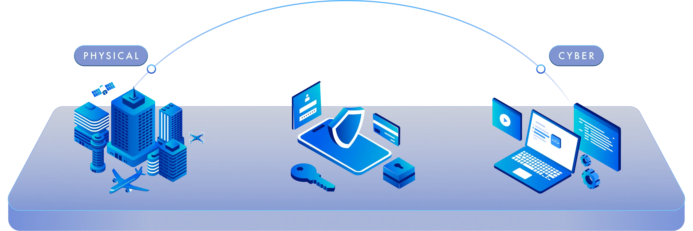
Solafune aims to expand its planetary intelligence platform to support governments worldwide in transforming satellite and geospatial data into actionable insights. Building on existing Memoranda of Understanding (MoUs) and partnerships in Africa, the company plans to develop country-specific projects focused on resource management, environmental monitoring and disaster risk reduction. Future expansion will also target regions such as Southeast Asia through collaborations with government agencies, international organizations and enterprise partners. In parallel, Solafune is developing a broader AI-powered planetary intelligence operating system that integrates geospatial intelligence (GEOINT), open-source intelligence (OSINT), signal intelligence (SIGINT) and proprietary datasets to support decision-makers across sectors such as mining, agriculture, urban planning, disaster management and economic security.