An AI-, satellite-, and drone-based health intelligence platform enabling climate-resilient disease risk mapping and proactive public health interventions.
World Health Organization (WHO); UNICEF; UNDP; Asian Development Bank (ADB); Japan International Cooperation Agency (JICA); Japan External Trade Organization (JETRO); Japan Science and Technology Agency (JST); Gavi, the Vaccine Alliance
Climate change is increasing the spread and intensity of vector-borne and water-borne diseases such as malaria and dengue. Developing countries are particularly affected as disease surveillance systems in these settings are often fragmented, reactive and resource-intensive. Governments and public health authorities often rely on surveys or reporting systems that cannot capture risks in real-time, which limits their ability to identify emerging disease risks and allocate resources efficiently. As extreme weather events and flooding reshape disease patterns, there is a growing need for real-time, data-driven tools that enable proactive public health planning and rapid intervention.
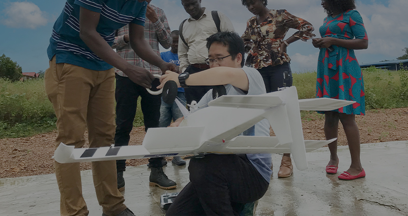
SORA Mosquito Control and the SORA Health Intelligence Room from Japan-based technology start-up SORA Technology provide an integrated AI-driven platform combining satellite data, drone imagery, climate and hydrological modelling, and ground data to identify disease risk hotspots and guide targeted interventions. The platform enables rapid, large-scale environmental mapping and automated risk classification, replacing time-consuming manual surveillance processes. By complementing government-led public health systems with accessible digital tools and GPS-enabled field applications, SORA improves operational efficiency while reducing costs and large-scale use of insecticides. The solution bridges capacity gaps in resource-constrained settings by enabling health authorities to prioritize interventions and respond proactively to climate-driven disease risks.
SORA bridges the digital divide by enabling governments in resource-constrained settings to access advanced disease surveillance without requiring extensive technical infrastructure or large analytical teams. By combining satellite data, drones and AI-driven analytics, the platform reduces reliance on manual surveys and enables scalable monitoring across rural, peri-urban, and hard-to-reach areas. Field teams receive GPS-guided tools that translate complex data into actionable insights, strengthening local public health capacity and supporting vulnerable communities disproportionately affected by climate-sensitive diseases.
SORA’s AI- and drone-based mapping significantly improves the speed and scale of disease surveillance. Compared to manual methods, mapping time is reduced by 75–92 percent, while geographic coverage increased by up to 62 times. In a malaria control pilot in districts in Ghana (2023–2024), the platform enabled more targeted interventions, reducing larvicide use by approximately 50 percent and lowering operational costs. The pilot also identified mosquito breeding sites that had previously been missed, allowing for optimized spraying routes and faster response.
Field deployments have demonstrated scalability across different regions and diseases. In 2025, dengue prevention projects in the Philippines confirmed the solution’s adaptability in urban and peri-urban Asian contexts. In Nairobi, the solution was applied to flood risk prediction, identifying high-risk flooding hotspots and further validating the system’s replicability in diverse environments.
SORA Technology plans to scale its climate-resilient health intelligence systems across Africa and Asia, expanding applications for malaria, dengue and climate-related disease surveillance.