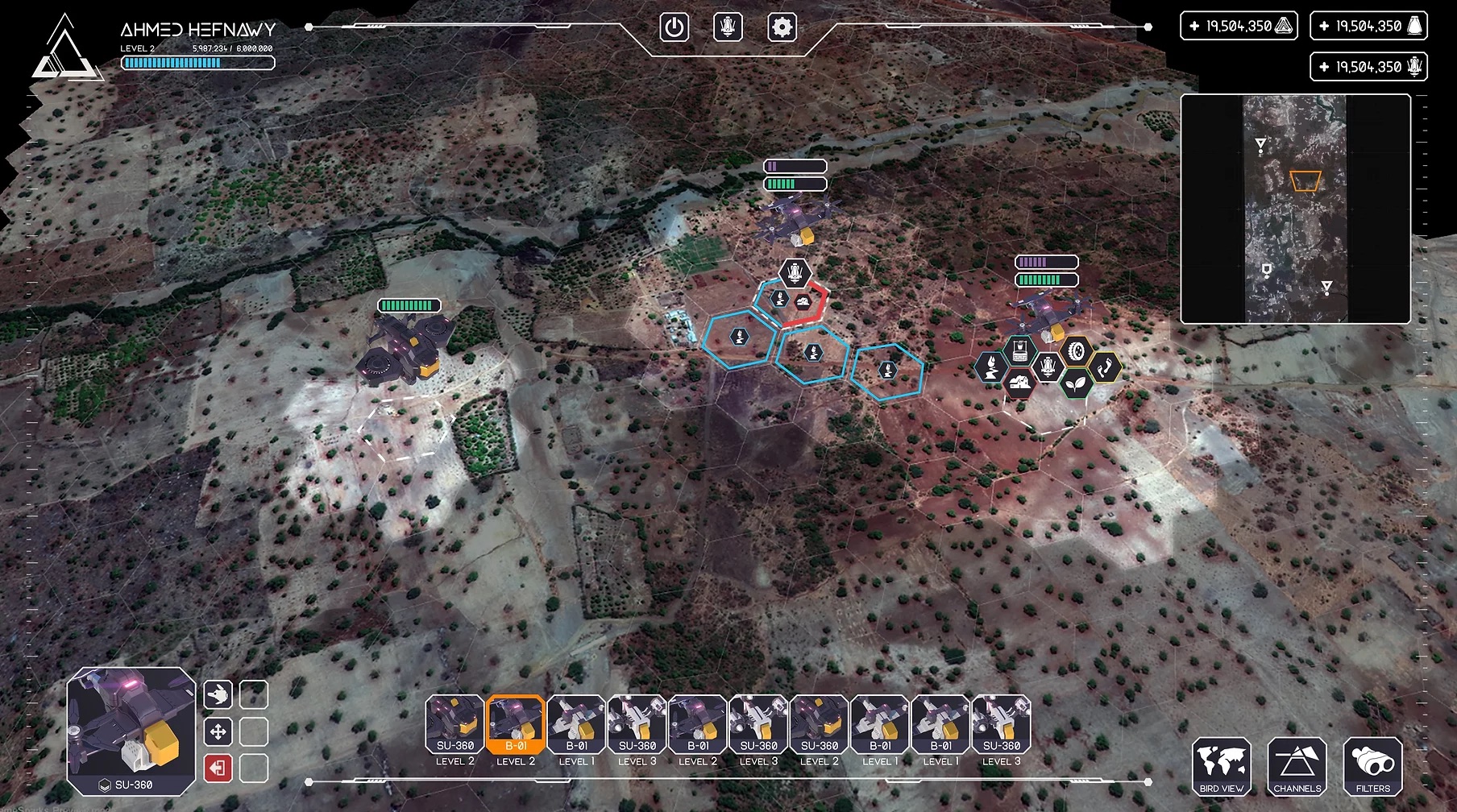
Using online gaming to create maps and data labels to train AI systems.
African Development Bank, European Space Agency, The Hague Center for Strategic Studies
Ongoing field work is often costly, time-consuming, and reliant on fragmented information. Field observation can also be far removed, difficult to reach, or dangerous to enter.
Cerberus creates uses crowds of gamers to create maps and data-labels from very high resolution satellite imagery. The use cases vary by client. For example an organization interested in food security may ask players to map wheat stocks. They've mapped various other crops, water infrastructure, and energy grids. They also do crisis mapping for disasters and human conflict in Iraq, where they created direct situational assesements which helped target aid to locations where it was most needed. During the ISIS threat they discovered Jezidi refugees in a matter of hours.
Of the 85 000 players on Cerberus, a large portion of them are living in emerging nations. Cerberus imagines a future where the crowd not only maps and discover, but also gives inputs for possible improvements. As project areas are 3D, this can allow the crowd to 'build' things virtually and use their help with localization.
Cerberus can help organizations answer questions about their programs and provide direct situational assessments. For example, if an organization invests in water related improvements, Cerberus can map around the intervention to observe the impacts. Using satellites they can cover more ground, very rapidly, more safely, and at lower cost than in-person field visits.
Cerberus key focus is to work in countries which are developing. They have a competitive advantage: highest quality satellite data near real time. There is still so much to be mapped, and let alone still so much to be understood and they believe this is only the beginning.